Engineering
Unleash Engineering Insights and Empower Stakeholders

Survey with Precision
Engineering work demands precision at each stage of a project. Between balancing stakeholder relationships, regulatory compliance, and managing your field team, the last thing you need is a software solution that does not meet standards.
For over 40 years Golden Software has been a trusted ally of engineers who create report quality figures that capture all the details required for an accurate survey.
From the initial geophysical site investigations, to the long-term monitoring of infrastructure, Surfer and Grapher are designed to empower engineers who value results above all else. Providing you with the means to accurately model site characteristics, monitor changes, and present data in both 2D and 3D formats.
With Golden Software by your side, you can confidently navigate the intricacies of your projects, ensuring your data-driven decisions and insights drive success throughout every phase of your engineering endeavors.
Applications
Create Accurate Geophysical Surveys
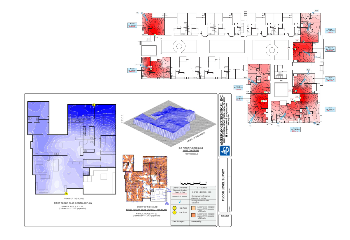
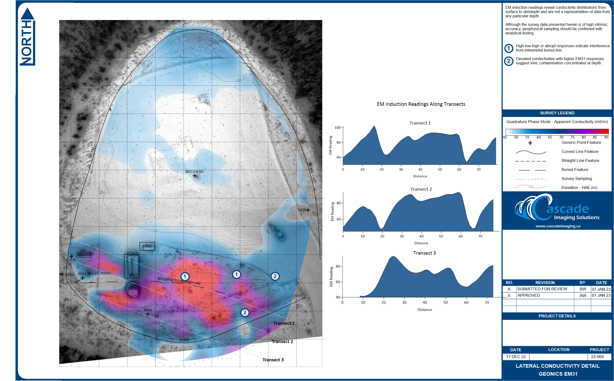
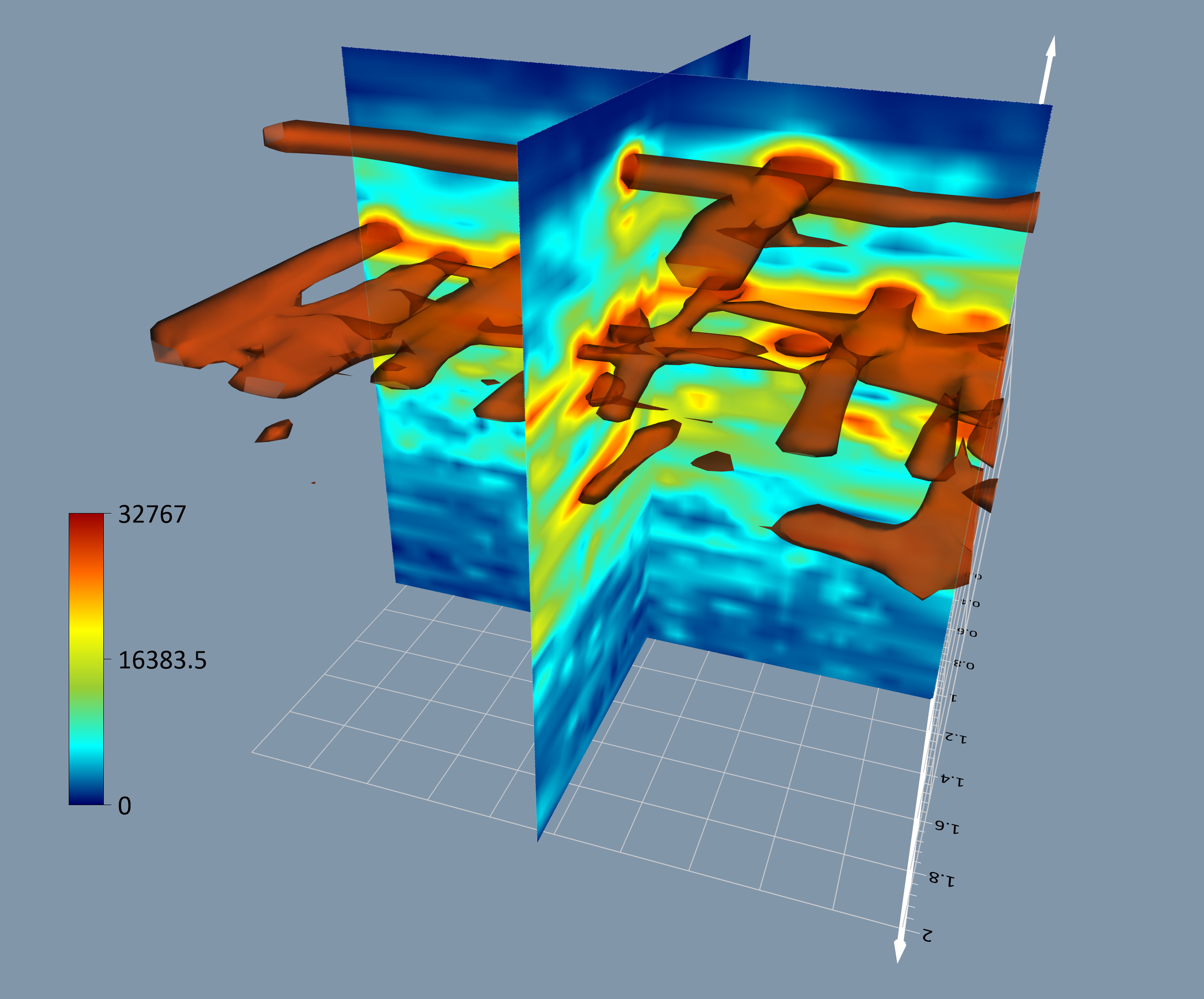
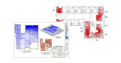
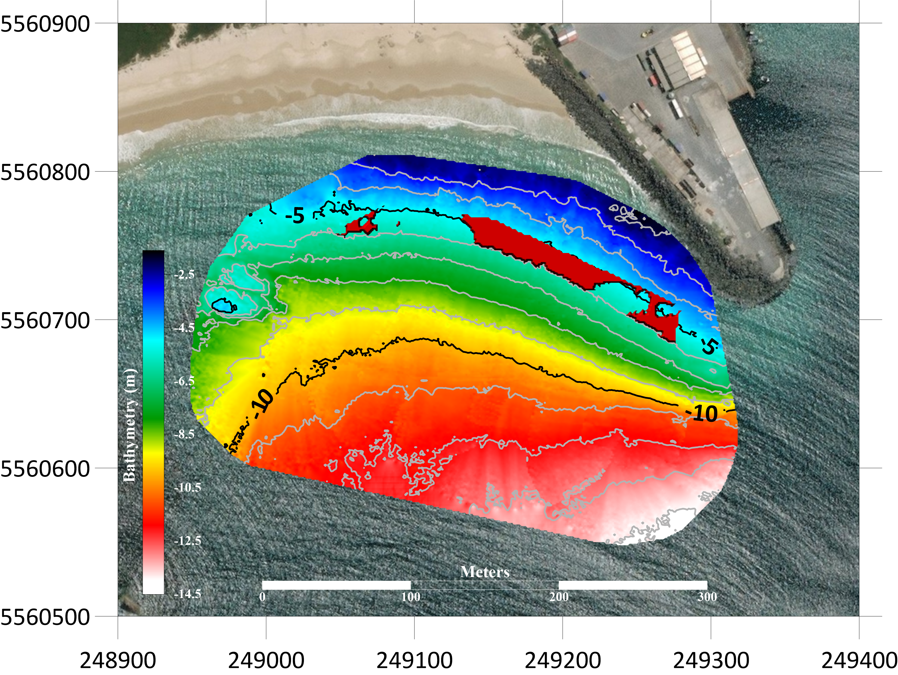
An accurate geophysical survey plays a pivotal role in the planning phase of engineering projects. With Surfer’s robust geospatial capabilities you generate impressive 2D and 3D visualizations of the project area and gain valuable insights into the terrain and subsurface conditions.
Surfer supports a wide range of data types, including topographic, LiDAR, geological, and geophysical data, and seamlessly integrates them into highly detailed contour maps, 3D surface models, and cross-sections. This comprehensive geospatial analysis can identify potential challenges and opportunities during project planning, such as optimal site locations, underlying geology, and pinpointing potential hazards.
Advise With Confidence
Golden Software products are designed to enhance collaboration and streamline communication between engineers and stakeholders. Whether through interactive graphs, detailed maps, immersive 3D models, or comprehensive reports, our software enables engineers to present survey findings in a compelling and accessible manner, ultimately driving informed decision-making and project success.
Perform Long-Term Infrastructure Monitoring
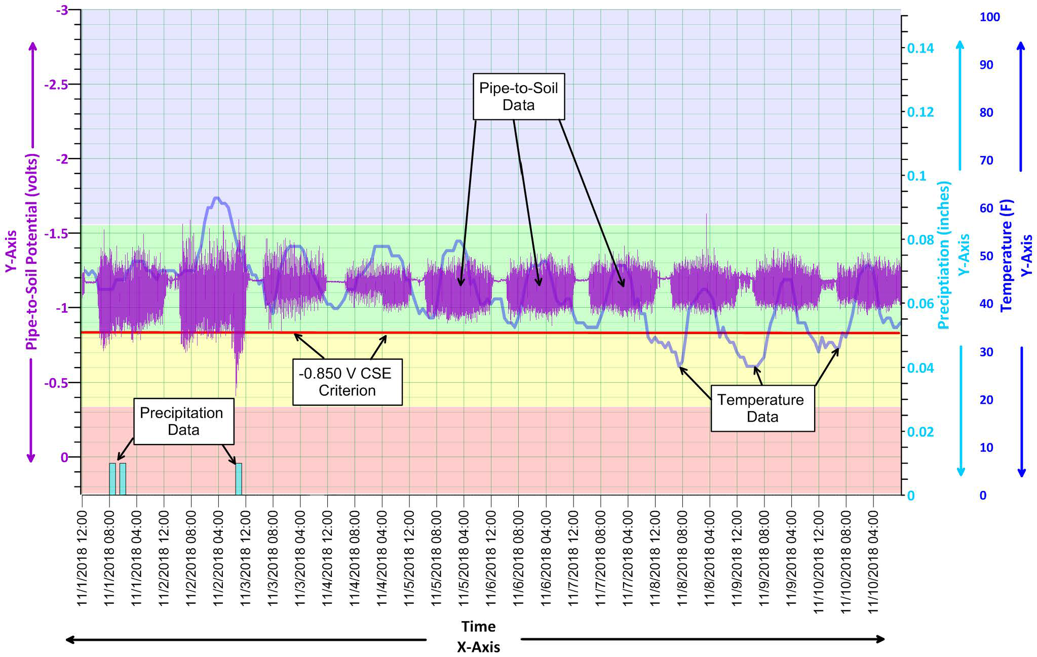
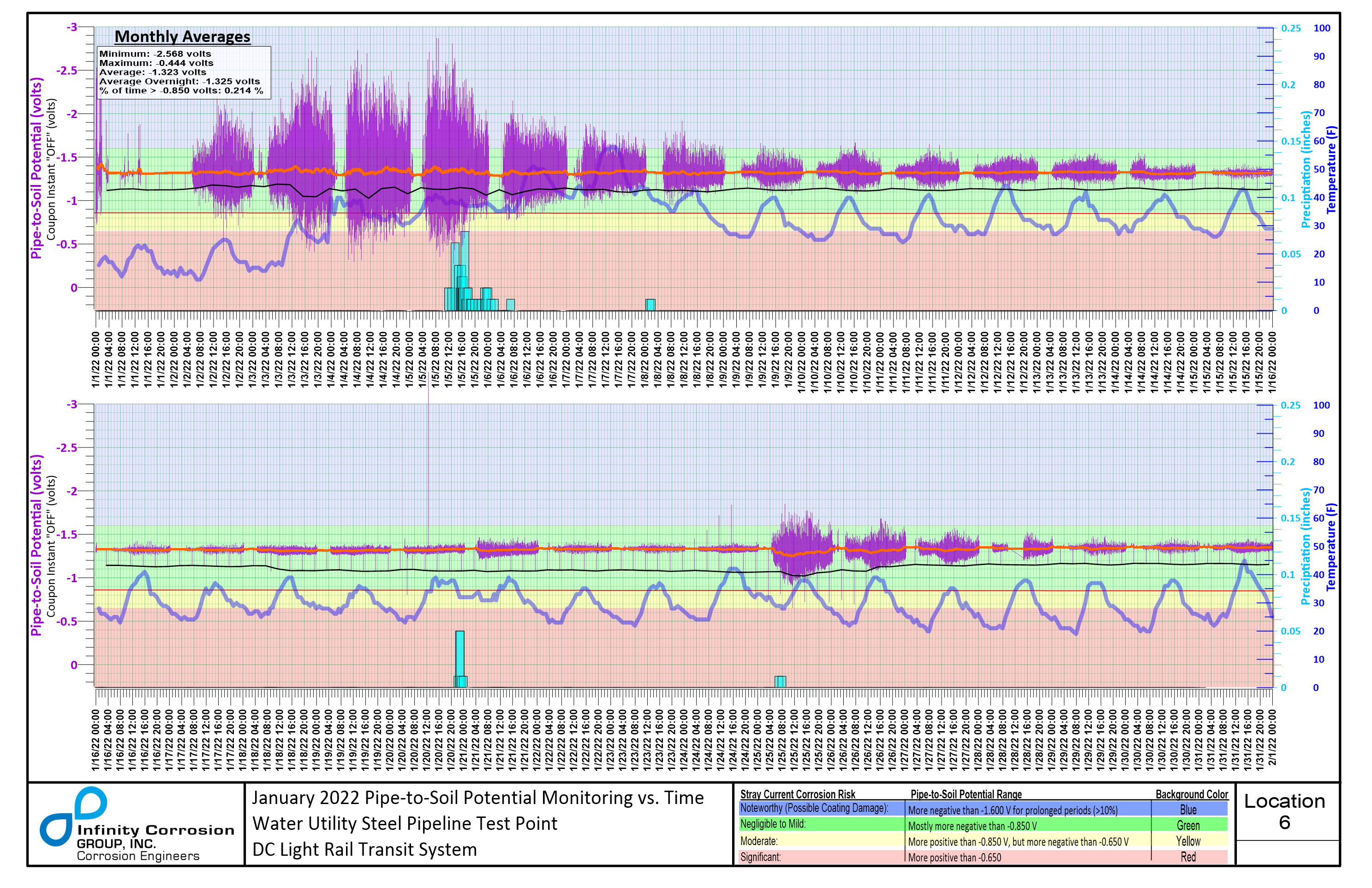
A project doesn’t end after the construction phase. With Grapher, engineers can effortlessly import data from various sources such as sensors, databases, or spreadsheets and create comprehensive graphs and plots. Enabling you to identify anomalies, monitor environmental parameters, and make informed decisions regarding infrastructure maintenance or improvements.
Grapher’s templates, automation features, and extensive customization options will streamline the process of generating recurring reports. Allowing you to focus on assessing the long-term health and stability of vital infrastructure assets.
Real World Engineering Results
Golden Guarantee
100% Satisfaction Guaranteed or 100% of Your Money Back
We know Surfer and Grapher’s visualization capabilities will help you stand out from the crowd, WOW clients, and leave a lasting impression!
But… we realize you don’t know this yet. And you won’t until you experience our products for yourself.
This is why we provide this guarantee. This is the distillation of a 40+ year adventure designing, developing, and honing powerful visualization and analysis features as requested by scientists and engineers like you.
Our products can produce results far beyond its license fees. We are assuming all your risk, so you have none.
TESTIMONIALS
Hear what other scientists & engineers have to say!
Golden Software is like a close family. Your team is always ready to answer questions, to solve problems, your products are of fine quality, low prices for updates.
Thierry Hatt
Historical GIS Cartographer Université de Strasbourg, France
We have been Golden Software clients for 35 years and have never been disappointed. For us, it’s the premier data presentation package.
Felicia Bechtel
Senior Geophysical Advisor
I’ve used Surfer for many years. It helps me tell my data’s story which allows me to clearly communicate important information with clients.
Richard Koehler, PhD
PH Founder, Visual Data Analytics, LLC
The wide variety and functionality of the interpolation/extrapolation algorithms, as well as the geostatistical functionality, is simply awesome!
Grant van Heerden, MAIG
Mine Geotechnical Engineer / Engineering Geologist
As an author, I make beautiful maps of the ground surface from LiDAR data. Surfer allows me to tease out subtle features. It is a delight to use and the tools are there, no matter what function I wish to apply.
Peter Hatherly
Geophysicist
Golden Software products are the most intuitive of any software I've ever used.
Anna Klene, PhD
Professor
Surfer is the best GIS software I have ever used…better than AutoCAD and ArcGIS … I love it!
Liliana Cecan, PhD, PE
Senior Project Manager
Surfer appears to have been designed by people who really understand what scientists like myself want to do. This allows me to look at data and ask questions without being concerned at the technicalities of how to load, manipulate and map data.
Barry Gardiner
Senior Scientist
