From Data to Decisions: The Benefits of 3D Mapping in Geoscience
As a geoscientist, one of your top goals is to convey complex data to stakeholders so they have the insights necessary for smart decision-making. Is this easy? Not always. Transforming raw data into meaningful, actionable insights can take time, effort, and creativity. Thankfully, advances in technology have brought one powerful tool to the table that’s making it a whole lot easier: 3D mapping.
What is 3D Mapping?
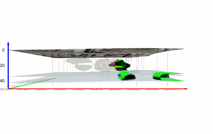
3D mapping is the process of creating three-dimensional representations of real-world environments and surfaces. It’s a multi-step, tech-heavy process, but the outcome is worth the effort: detailed 3D models that make the planet’s features pop off the page. These visualizations give stakeholders an intuitive understanding of complex data—something a 2D map can’t always provide.
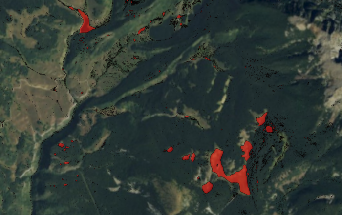
Historically, maps have been two-dimensional, providing valuable insights for planning and navigation. But with today’s increasingly complex challenges, stakeholders sometimes need a deeper, more immersive experience to fully grasp the information at hand. That’s where 3D mapping comes into play. Thanks to advancements in cartography, aerial photography, satellite imagery, photogrammetry, drilling, and LiDAR, 3D mapping equips you to design realistic visualizations that are as clear and accurate as they are engaging.
The Process of 3D Mapping
3D mapping involves a few core stages and uses some impressive tech to bring it all together. Here’s a look at the typical 3D mapping process and the tools you need:
- Data Collection: Like most things in geoscience, it all starts with gathering data. In this case, you’re collecting spatial data, which you can capture using drones, LiDAR, ground-based sensors, monitoring wells, and drilling reports.
- Data Processing: Next, you need software to transform, format, or interpolate that raw data into a format ready to create captivating 3D models. There’s a range of software out there, but efficiency is key—especially if you’re using LiDAR, which can generate data sets with millions of points. To keep your workflow as efficient as possible, choosing a powerful software that can handle the load and give you results fast is critical.
- Visualization: After processing, it’s time to bring the data to life. Your software should have features that equip you to create a 3D model that’s clear, compelling, and accurate—something that makes the data easy for stakeholders to understand.
- Informing: The final step is sharing your 3D model with stakeholders to facilitate informed decision-making. If you have a high-quality 3D visualization, it should provide all the information stakeholders need to figure out their next steps.
These four phases bring 3D mapping to life, and none of them are terribly difficult to navigate if you have the right tools. However, while 3D mapping isn’t complicated, it does require some adjustments if you’re new to the process, which begs the question: is 3D mapping even worth the effort? Absolutely.
The Benefits of 3D Mapping in Geoscience
We’ve talked about how 3D mapping creates models that bring Earth’s features to life. But practically speaking, what are the real benefits of delivering these top-notch visualizations to stakeholders? Here are a few ways 3D mapping makes a meaningful impact:
- Increased Understanding: 3D models offer a realistic view of mapped environments, making it easy for stakeholders to intuitively grasp the data you’re presenting.
- Better Engagement: When stakeholders can see and understand a visualization, they’re more engaged, leading to better discussions and smarter decisions.
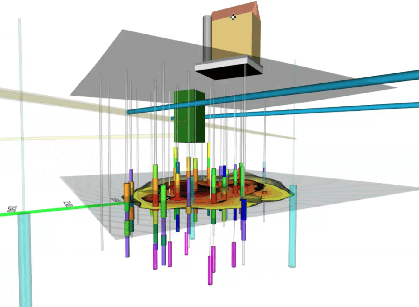
- Insight into the Subsurface: For subsurface mapping, a 3D model provides a clear view of what’s happening underground—whether it’s tracking a contamination plume or identifying the ideal drilling location.
- Interactive Experience: Some software lets stakeholders rotate 3D models to view them from different angles and walk through the visualizations. This added interaction can enhance understanding and engagement to drive even better decision-making.
With 3D mapping, you can design the detailed visuals stakeholders need to make well-informed choices. By adding nuance and depth that only 3D models can offer, you help cut through confusion, foster meaningful conversations, and provide insights that drive sound decisions. And here’s the best part: 3D mapping isn’t limited to one area of geoscience.
Real-World Applications of 3D Mapping in Geoscience
The uses for 3D mapping in geoscience are extensive, influencing everything from mining to archaeology. To put that in perspective, here’s a look at some real-world applications in geoscience:
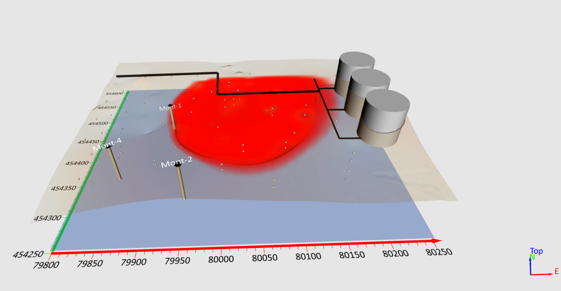
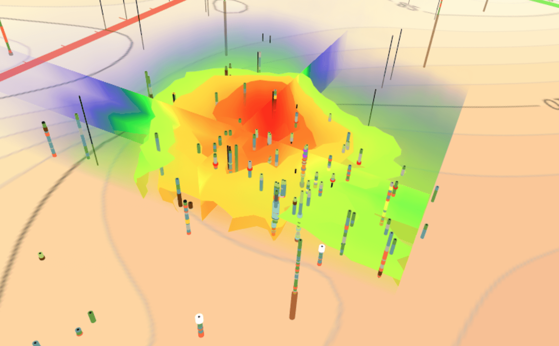
- Contamination Plumes: Need to show the depth and reach of a contamination plume? 3D mapping lets you illustrate the spread and impact underground, making it easier to communicate risk.
- Lithology: Whether you’re advising on drilling locations or tracking a contaminant’s flow, understanding subsurface characteristics is crucial. A 3D model can show the lithology of an area, giving stakeholders a detailed view of what lies beneath and how it’ll affect decisions.
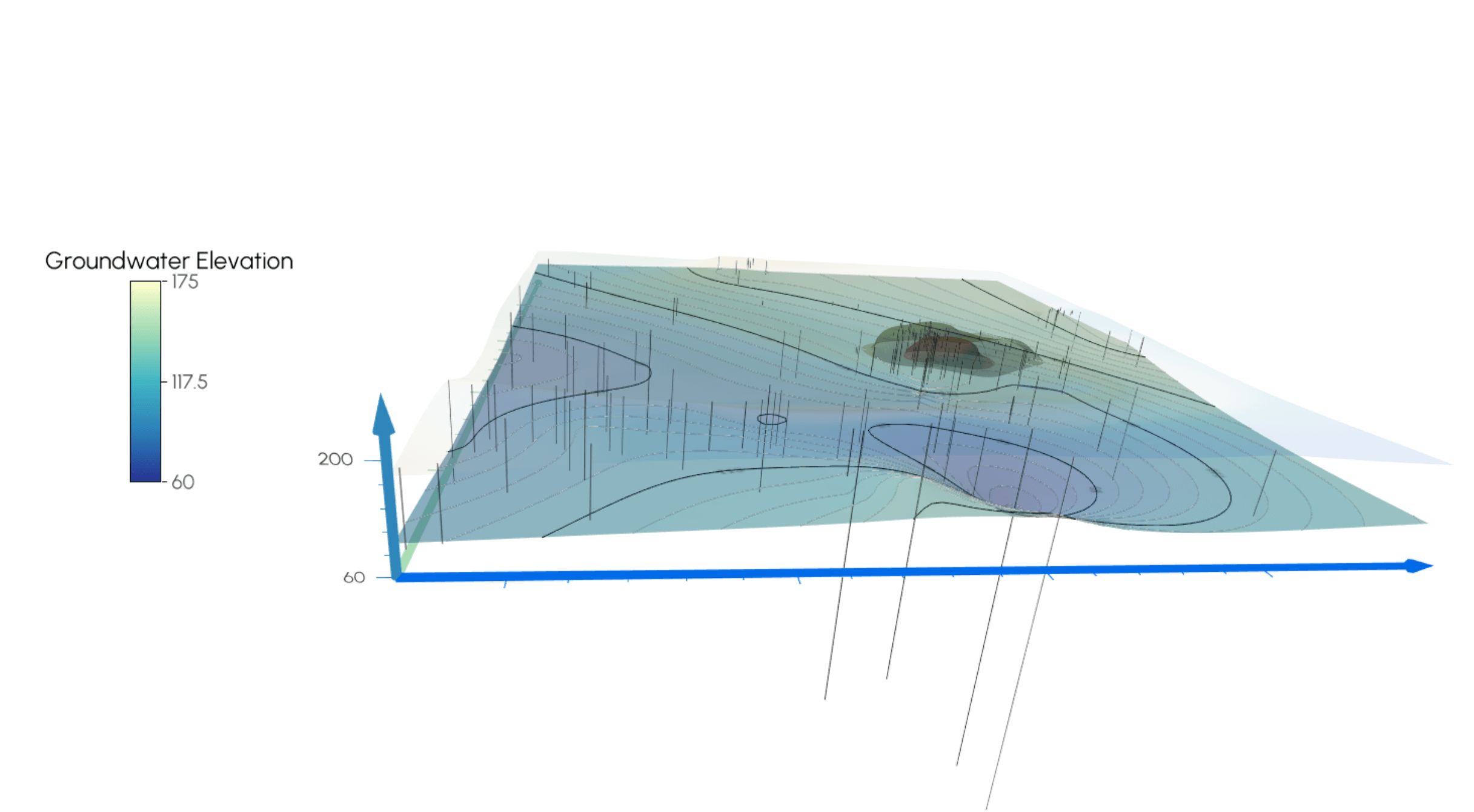
- Groundwater Reservoirs: With 3D mapping, you can provide stakeholders a clear look at aquifer depths, helping them make better-informed decisions about water resources.
- Archaeological Discoveries: From ancient ruins to lost fortresses, 3D mapping brings history to life by capturing the details of archaeological sites for all to see.
- Resource Exploration: Mining companies spend millions on exploration. With 3D mapping, you can show exactly where to drill, saving money and reducing environmental impact.
- Water Tables: 3D models can illustrate the location and nature of a water table, offering stakeholders the insights they need to approach and manage water resources effectively.
- Engineering: Reliable infrastructure depends on solid foundations. 3D mapping provides engineers with accurate, detailed representations of structures and topography, minimizing errors and maximizing precision.
- Disaster Management: In the wake of a disaster, 3D mapping can help stakeholders assess damage and guide relief efforts. It can also be used to identify hazard-prone areas, aiding in proactive response planning.
3D mapping reaches across various geoscience applications, equipping stakeholders with the insights needed for smart, informed decisions. That doesn’t mean it’s the perfect tool for every project—but when used in the right context, it’s a powerful asset for communicating complex data effectively.
Gather the Right Tools
Incorporating 3D mapping into your workflow can be a game changer, equipping you to design visualizations that are realistic, detailed, and compelling—all of which deliver real benefits to stakeholders. But here’s the key: to unlock the full potential of 3D mapping, you need the right tools. Once you’ve chosen the best data collection method, select software that efficiently processes and visualizes your 3D data. With the right setup, both you and your stakeholders can experience everything 3D mapping has to offer.
Need ideas on where to start looking for software? Download a 14-day free trial of Surfer to process and visualize your 3D data to create clear, compelling, and accurate maps.
