Maximize Software Value: Keep your Maintenance Active

2023-10-10T16:14:32-06:00March 26, 2019|

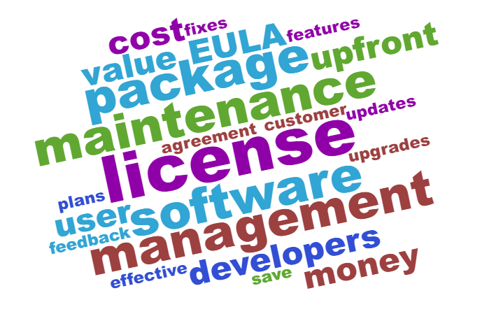
Secure Software Maintenance Today Maximize Software Value: Keep your Maintenance Active Software developers offer a variety of license plans, and these can be divided broadly into a couple categories based on how you pay for them. In the first option, the user buys the package [...]

Equalize Data to Resolve Uneven Distribution

2023-12-08T07:22:26-07:00January 11, 2019|

Equalize Data with Surfer Today Equalize Data to Resolve Uneven Distribution Many datasets are not linearly distributed – take the Golden.GRD file located in the Surfer Samples directory, for example. This topographic grid file has a skewed normal distribution with some outlier Z values that [...]

LiDAR Best Practices for Archaeology Practitioners

2023-12-08T07:23:14-07:00February 28, 2018|

Apply LiDAR Best Practices with Surfer LiDAR Best Practices for Archaeology Practitioners The amount of LiDAR coverage for the Earth's surface has rapidly increased over the past few years, and a number of scientific disciplines are taking advantage of this increased availability of laser-derived data. [...]

Explore the Moon’s Soils with 3D Modeling

2023-10-10T16:16:41-06:00December 7, 2017|

Create 3D Surface Models with Surfer Today Explore the Moon's Soils with 3D Modeling One of our Surfer users Alain Paillou has been kind enough to share his work with us - he has been using the new 3D view features to generate 3D models [...]

Hiking and Mapping the Manitou Springs Incline

2023-12-08T07:24:19-07:00May 3, 2016|

Hiking and Mapping the Manitou Springs Incline While less than 1 mile (1.42 km) in length, the Manitou Springs Incline is not for the faint of heart. Originally built for cable cars used to carry materials during the construction of Pikes Peak pipelines, the Incline was a tourist [...]

Go to Top