Training Tomorrow’s Hydrogeologists: Inside WMU’s Hydrogeology Field Course
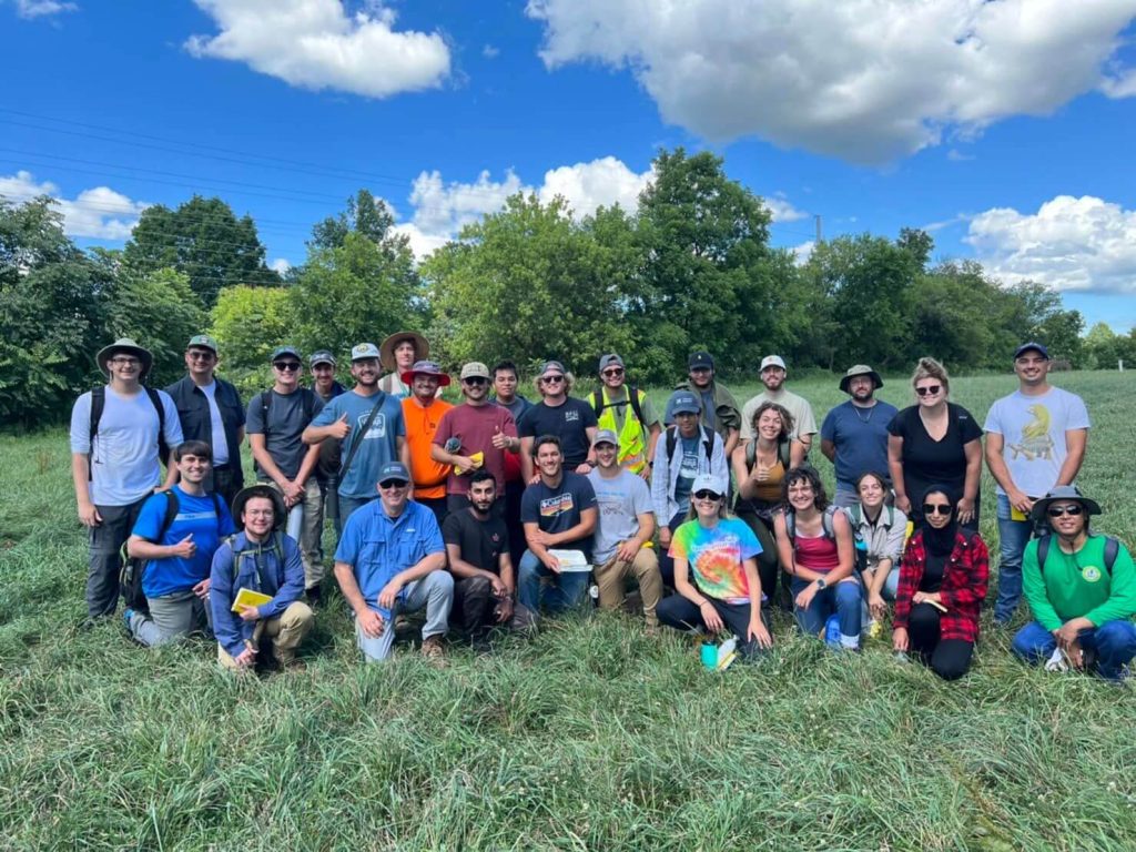
The Department of Geological and Environmental Sciences at Western Michigan University (WMU) offers something pretty special: a Hydrogeology Field Course, one of the few hydro-technical programs in the U.S. Launched in 1987, the course is currently co-directed by Tom Howe, a Senior Geosciences Specialist, and Dr. Matt Reeves, a Presidential Innovation Professor and Associate Professor of Hydrogeology.
“I’m actually an alum of this program and have been directing it for almost 14 years now,” Howe shared. “We’ve trained more than a thousand students and have attracted participants from across the U.S. and abroad.”
Most of the students in the course are studying geology or hydrogeology and are looking for a capstone experience that ties everything together. The field course is the perfect option, giving students a hands-on opportunity to apply everything they’ve learned in the classroom to real-world work in the field.
“They get hands-on experience with equipment, software, and different tools they’ll use on the job,” Howe explained. “It makes them marketable right out of school because, while they might not be experts yet, they’ll know enough. They’ll understand which buttons to push to get results.”
A Software Giving WMU Students Real-World Experience
The Hydrogeology Field Course happens over six weeks. Each week is one credit and covers a different aspect of hydrogeology, including:
- Environmental Surface Geophysics
- Hazardous Waste Operations and Emergency Response
- Well Drilling and Installation
- Groundwater Sampling and Monitoring
- Aquifer Testing
- Remediation Design and Implementation
For 20 years and counting, Surfer has been a key tool students use throughout the course, thanks to the affordable plans Golden Software offers teachers and universities. In the Environmental Surface Geophysics and Aquifer Testing modules, the class uses Surfer to process and visualize data like they would in the industry, helping them gain the skills they’ll need to stand out in the job market.
Enhancing Geophysics Lessons with Surfer
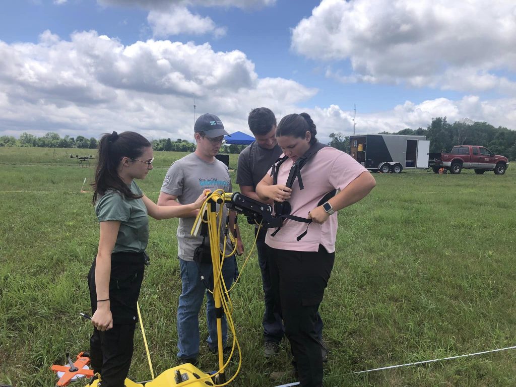
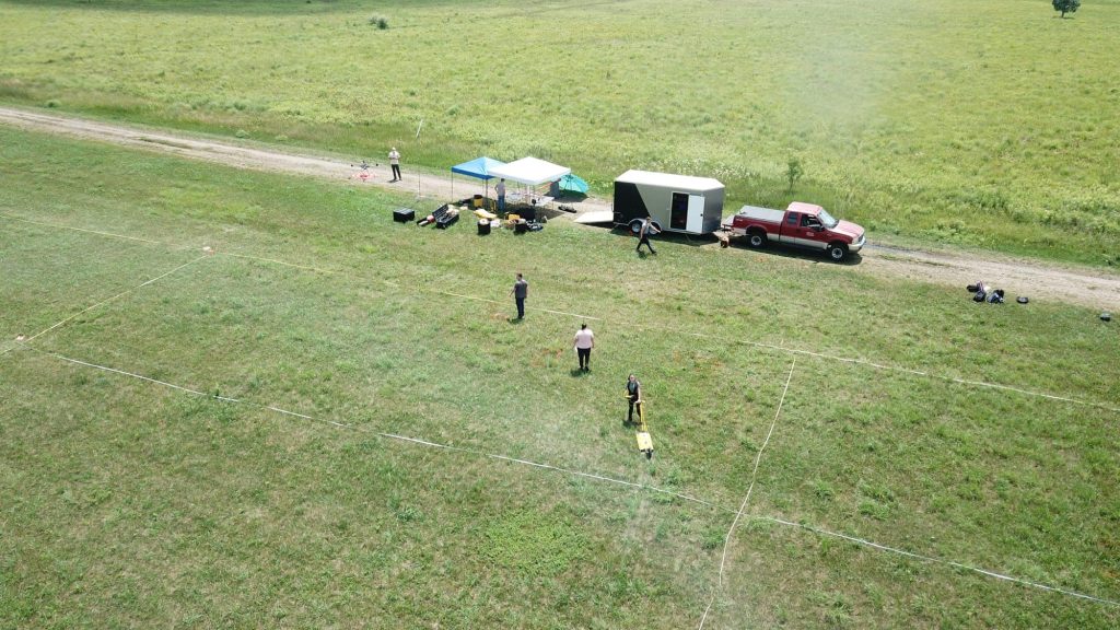
The first week of the Hydrogeology Field Course focuses on the Environmental Surface Geophysics module. Students visit a 50 x 200 meter off-campus training site owned by WMU, where they use a variety of geophysical tools and techniques — including electromagnetic, ground penetrating radar, seismic, and electrical resistivity methods — to explore the subsurface and locate buried objects.
“It’s a really cool project where students figure out which method works best for finding things like metallic objects, underground storage tanks, utilities, salty water, or anything conductive—basically things that could be similar to groundwater contamination,” Howe explained. “They spend a lot of time in the field using different instruments to conduct the surveys.”
Afterward, the students take all the data they’ve gathered, process it using Surfer and other software, and map out any anomalies underground. This gives them a solid foundation for surveying and understanding potential causes for further investigation. Then, they work collaboratively in teams to compile their findings, write a report, and present it to the class.
“You can be the smartest person in the world, but if you can’t present data digestively to other people so they understand, it doesn’t really matter,” Howe noted. “For the presentations, we tell one group they’re addressing the public. We tell another they’re addressing a client, and we tell some groups they’re presenting to a regulatory body like the EPA. We’re getting them prepared to talk and express information on different levels, which is important.”
WMU Students Use Surfer for Aquifer Testing
Students get another chance to work with Surfer during the fifth week of the course when they dive into aquifer testing. This module takes place at the same off-campus site, where there’s a 4-inch pumping well and 14 PVC monitoring wells.
Students are divided into six groups and each group manages 2-3 wells. Their job is to set up pressure transducers and record water levels before, during, and after the pumping test. This field work happens for a couple of days, with each group staying the night to track decreasing water levels and the surrounding monitoring wells.
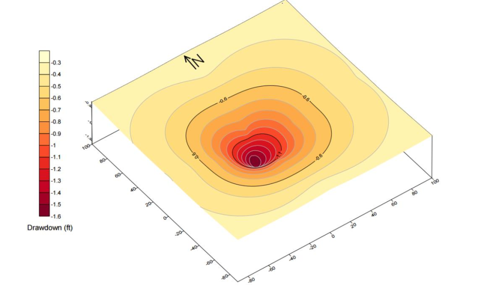
Once the fieldwork is done, they use Surfer to analyze how much water the aquifer can sustain. They also create visualizations to better understand how the aquifer responds when water is pumped out, a critical but challenging task, as picturing and relating what’s happening subsurface is one the hardest skills to master. That’s especially true in Michigan where the land is mostly sand and trees, and the subsurface isn’t as rocky. To help with this, the Hydrogeology Field Course includes field trips to the Western U.S., where students get to observe different geological environments and build their understanding of 3D subsurface features.
Partnerships Enhance the Program’s Success
The Hydrogeology Field Course has made a lasting impact on many students. In fact, WMU has an entire webpage filled with testimonials from alumni who rave about how the course helped them land jobs, gain real-world training, and figure out their career paths.
One student summed it up perfectly: “The time spent at Western Michigan was invaluable. We were able to grow in a structured environment that left room for creativity and ingenuity. We spent our time understanding essential background information, which was used daily in practical application at real geological project sites. We built and analyzed water wells, interpreted discharge data, and mapped aquifers using cool technology. Every day was different, and every week included new challenges and skills.”
When asked what makes the program so successful, Howe pointed to the importance of partnerships. Many professionals and companies like Golden Software have offered resources in some form to enhance the Hydrogeology Field Course’s impact. These connections have equipped students with the insights and hands-on experience they need to build a launchpad for a successful career — and from our point of view at Golden Software, we have every intention of continuing to help.
“Our customers have shared the concern that it is difficult to find talented young people to join their firms,” said Zach Mills, CEO of Golden Software. “I’m thrilled for Golden Software to help address that concern in any way we can. Whether it is providing software for a field session, as in this case, providing training and support for educators and students, or something else, the team and I will continue to support the development of future geoscientists.”
Do you know a university or teacher that’d benefit from using Surfer? Tell them to check out our special subscription plans for educational institutions!
